We dealt with Isolation and Interaction in a previous blog post and started with a concept. Now, it’s time to get into some specifics about the country, how it is divided both geographically and politically, and some of the major natural and man made features that define the setting.
Shildaria is located in the Plains of the North, an area of short and tall grass prairie, scrub, and savanna. The entire continent of Podio is tropical, so this will be an area most similar to sub-Saharan Africa in terms of climate. There will be a wet and dry season with short transitional seasons in between. It is completely landlocked and far, far away from any mountainous regions, so there won’t be any hurricanes or significant tornadoes (although in severe storms, tornadoes can form very rarely).
It is a fairly large country with a total area of about 650,000 square kilometers (250,000 square miles). That is about the size of modern day Ukraine, a little smaller than Alaska, or a little bigger than Madagascar, which would make it about the 40th largest country on Earth (out of 192 or so). The total population will be about 9 million, which sounds like a lot, but consider that France (which has slightly smaller area) had a population of 15-18 million in 1500 (source).
Five countries border Shildaria. To the west and northwest is Tarala, a country made up of hundreds of smaller princedoms. They are constantly at war with one another, which makes it difficult to trade with anyone who doesn’t border you. It is a land of political intrigue and infighting and effectively cuts Shildaria off from the major overland route, the Caravan Road. To the north is Taeoch, a very technologically advanced society and Shildaria’s largest trading partner. To the east is Iola, an expansionist country ruled by an atheist sect of warriors. They are becoming antagonistic and worse, Taeoch has become a closer and closer ally to them. To the southeast is Gemli, a new country founded by a splinter group from the Ligress, a race of wandering elves. The area was given to them by the Iolans, meaning there is another political adversary on their eastern frontiers. Directly south is Azaria. This is a jungle kingdom populated by a race called the Nightlings. It is also where the Abomination attacks come from, which has some of the northern Dukes advocating for open war with Azaria. This would not be the first time the two have come to war, but the last two conflicts ended badly for Shildaria.
The country itself is divided into twelve provinces, each ruled by a Duke. Provinces are further subdivided over and over into areas controlled by the rest of the aristocracy. However, there are huge areas where no one has any political control, particularly in the south and southeastern parts of the country.
The central region is tall grass savanna with little in the way of hills or other terrain features. While there aren’t any true forests, there are an abundance of trees scattered around the area, particularly where there are streams and rivers. This area drier than the south, but still gets a significant amount of rain during the rainy season. Murexis, the capital and economic hub for Shildaria is in this part of the country.
In the eastern part of the country, the hills become increasingly steep and taller. In these badlands, it is generally hot and dry. Because of this, trees tend to be smaller than those in the south and will grow on the north side of the hills, much like moss growing on trees. This area is sparsely populated, and is dotted with ruins from the Druid Wars.
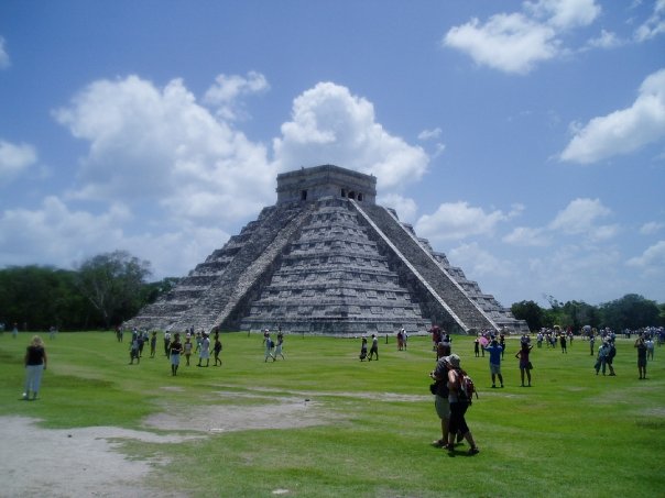
In the south, the land more hilly with larger rivers that eventually cut southward into the jungles. There are some forests, particularly on the southeastern and far southern borders. The grass here is shorter. The most recognizable feature is the Cairn, a massive ruin that was the provincial capital before the Druid Wars. It was abandoned twenty years ago and is now overgrown with vegetation. Its true name is considered cursed.
The western part of the country is rolling savanna, with wide open spaces and few trees to interrupt the empty miles of grass. This area is home to many fairly large farming and herding towns with long, lonely roads between them.
In the northern part of the country, the badlands turn into tall hills and bluffs. This area has significant material deposits and is where most of the mining and manufacturing happens. It is also the most arid, however, and crops generally don’t grow very well in the terrain.
Next week, will be discussing the technology levels in Shildaria. I’ll see you next Thursday!


You are amazing!